Log in
All resources
Create a design
717 Free Artworks of Maps Of India
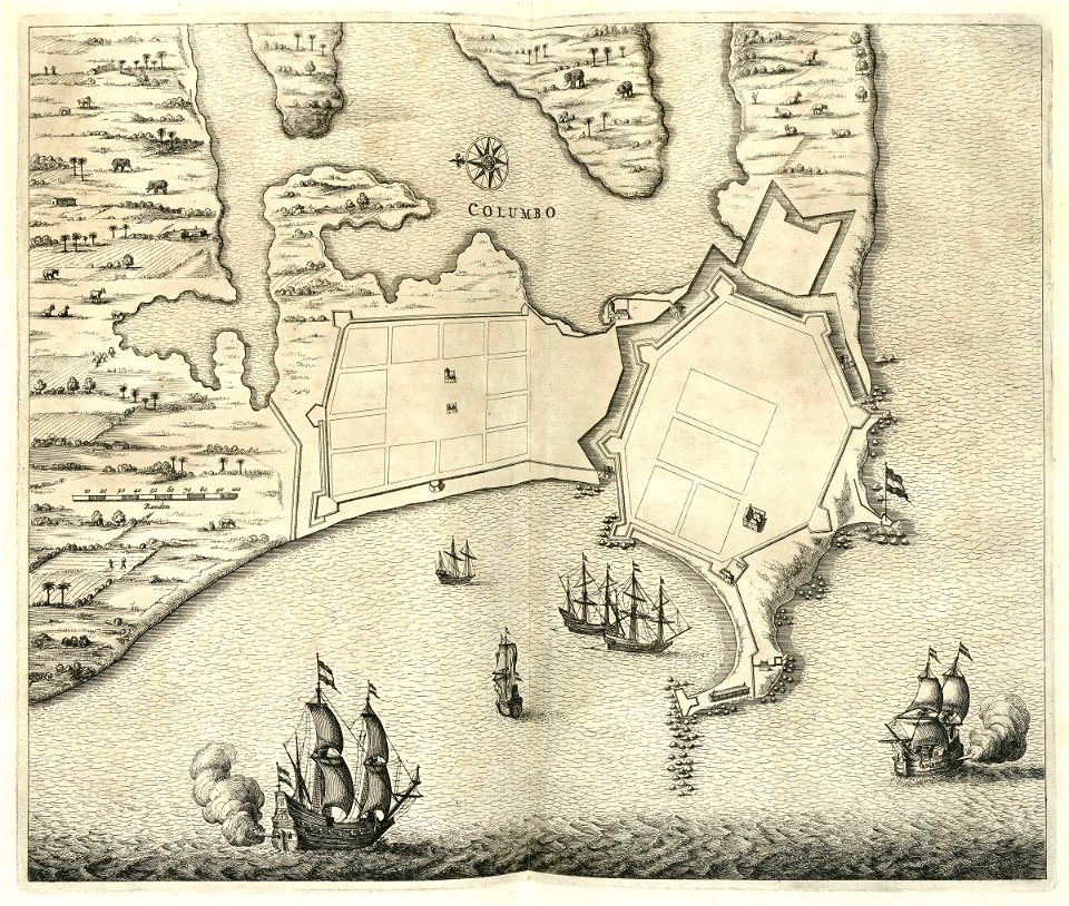
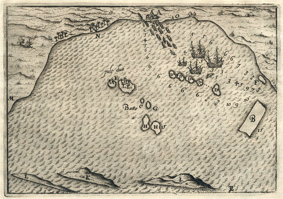
maps of the dutch east india company - sri lanka
maps of the dutch east india company - indonesia
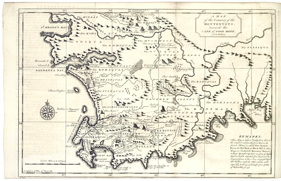
maps of the dutch east india company - south africa
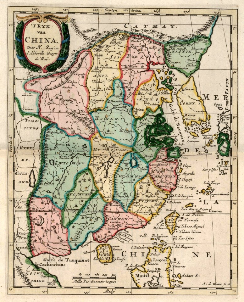
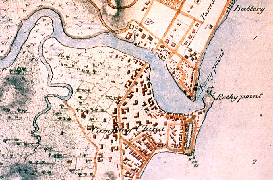
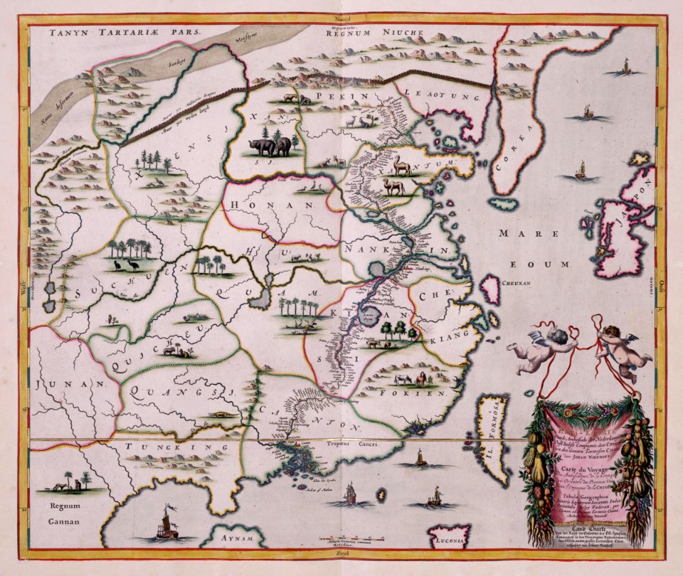
maps of the dutch east india company - china
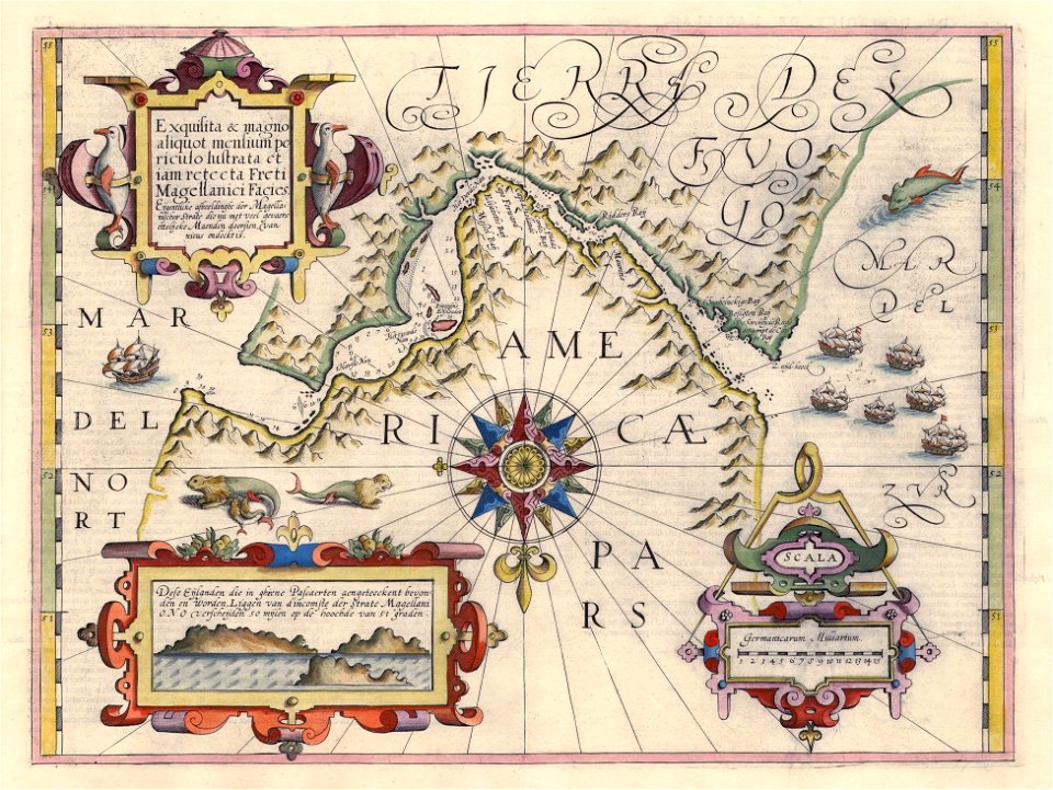
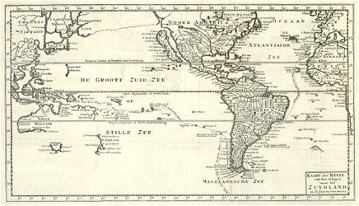
1672
johannes janssonius waasbergen
1724
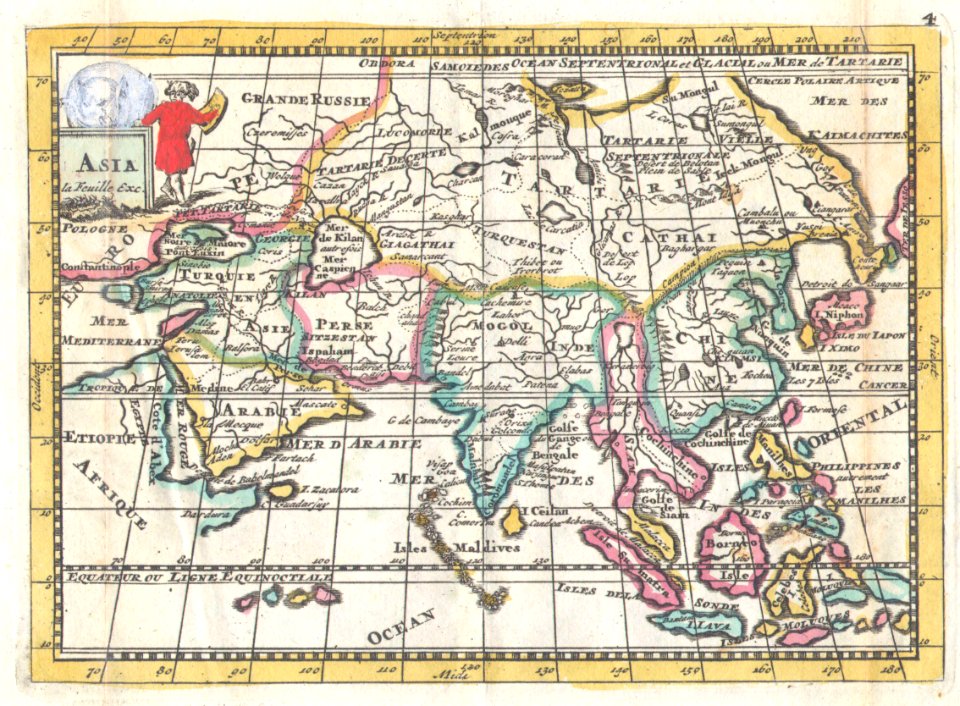
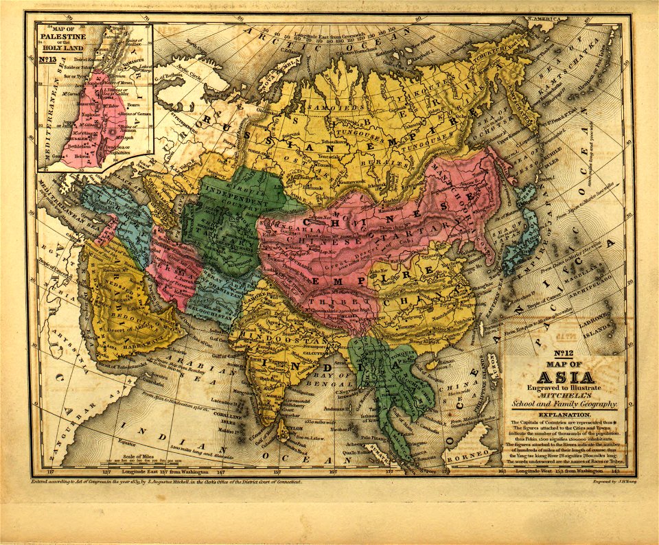
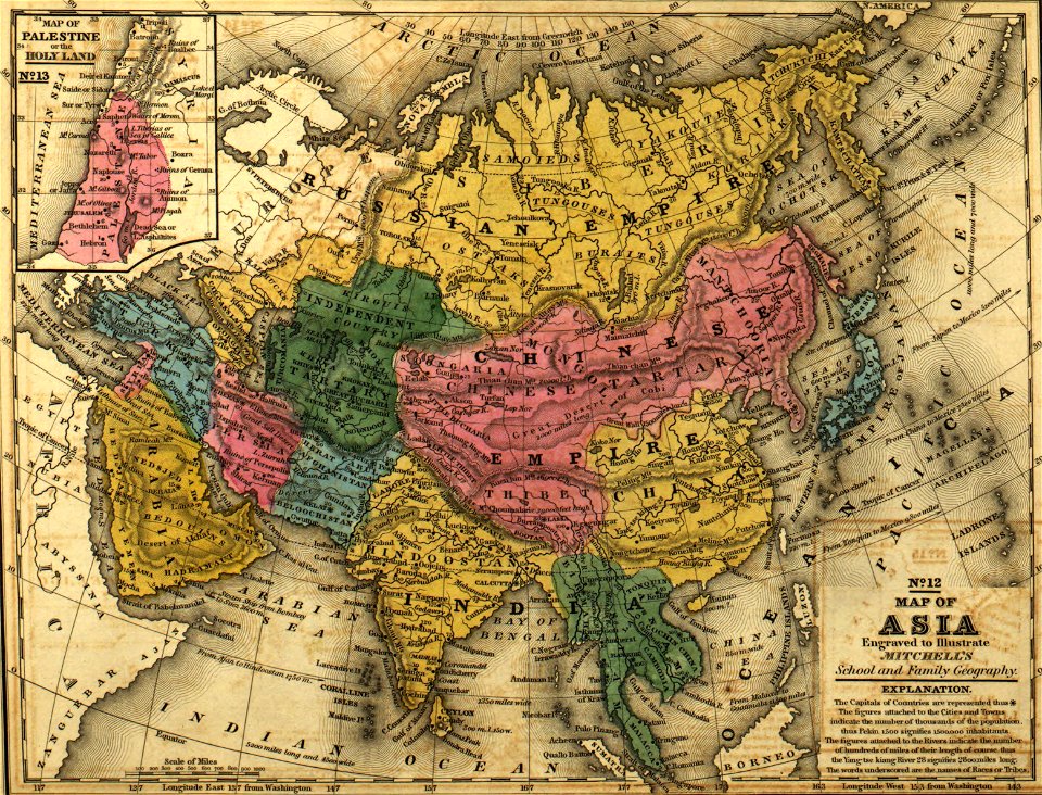
old maps of tibet
1787
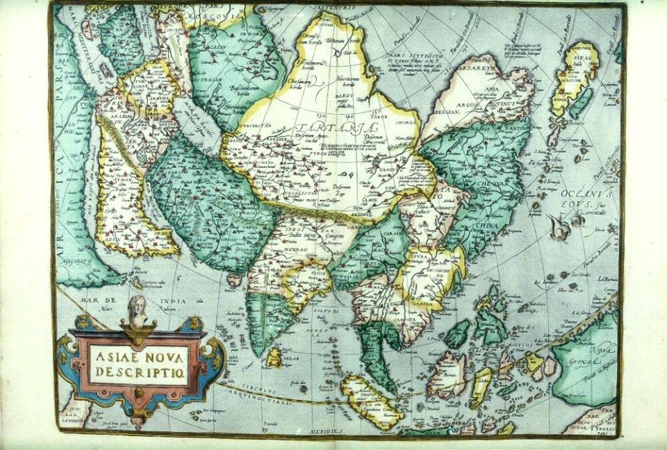
1598
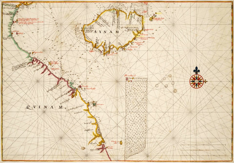
china in the 1700s
old maps of taiwan
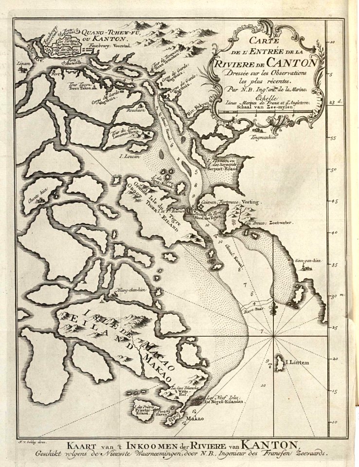
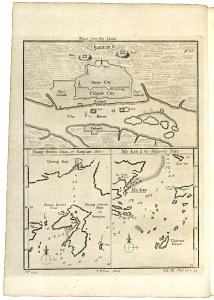
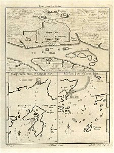
old maps of guangzhou
zhongshan
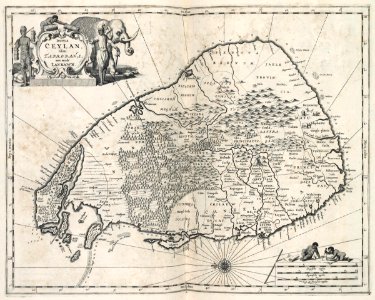
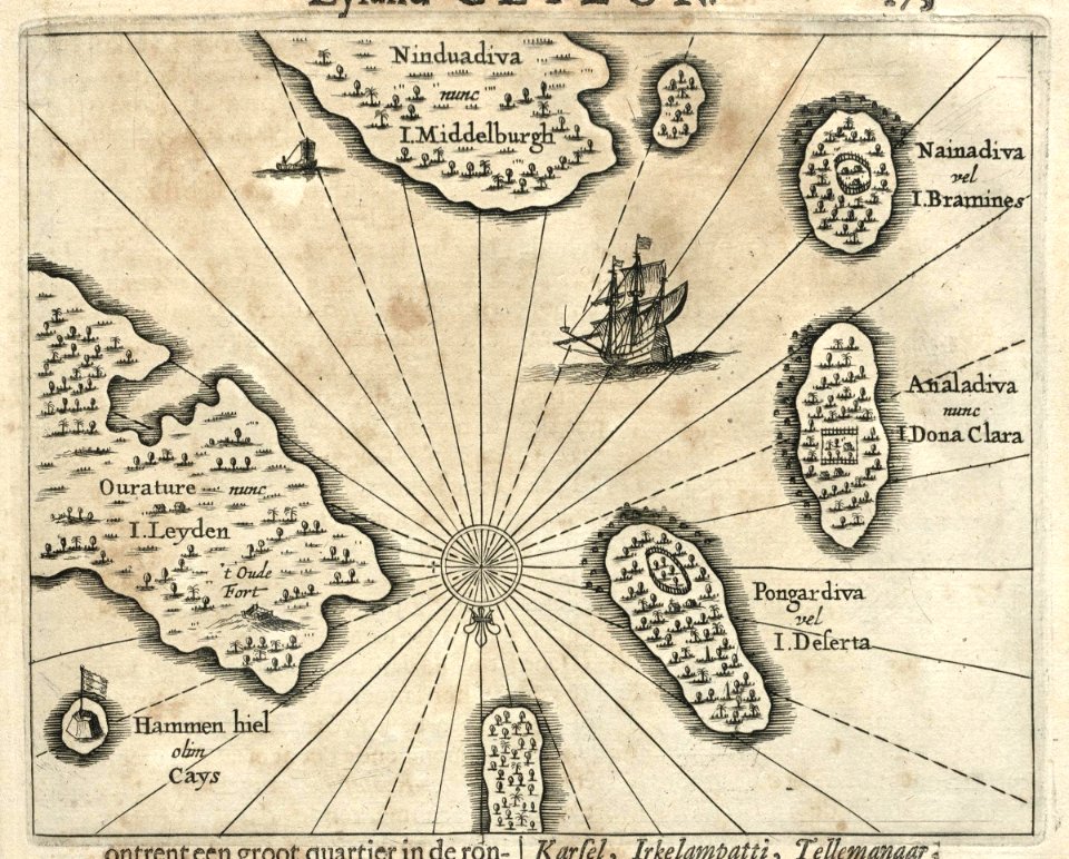
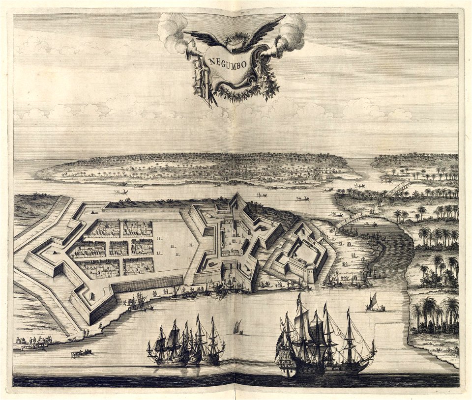
maps of the dutch east india company - sri lanka
1765
batavia
1740
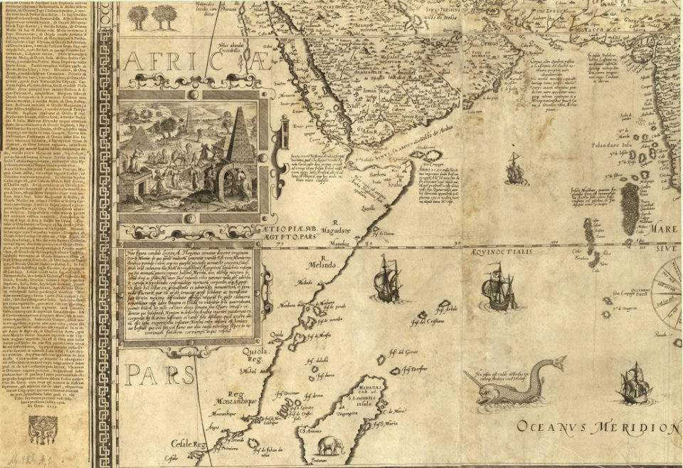
egypt
maps
17th-century maps of indonesia
1621
maps of the dutch east india company - indonesia
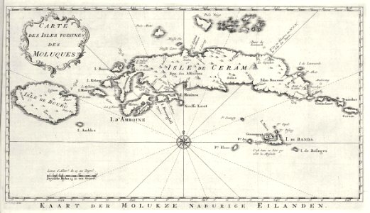
banda islands
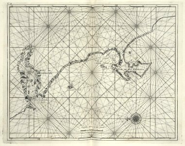
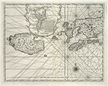
maps of the dutch east india company - sri lanka
1750
johannes janssonius waasbergen
1672
johannes janssonius waasbergen
1672
maps of the dutch east india company - indonesia
1724
old maps of guangzhou
zhongshan
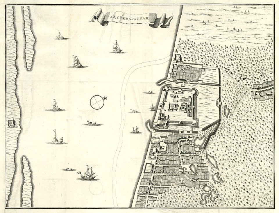
maps of the dutch east india company - sri lanka
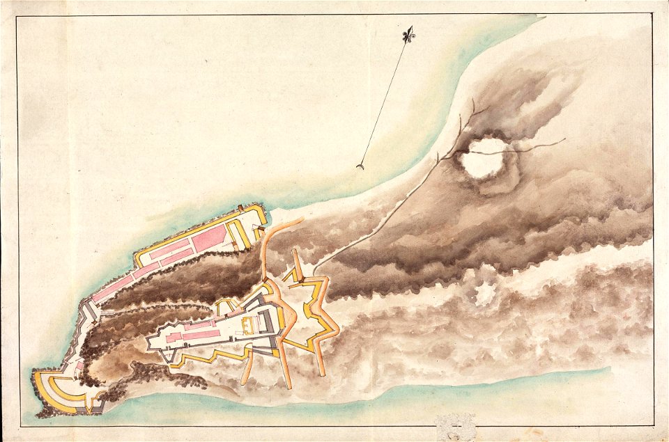
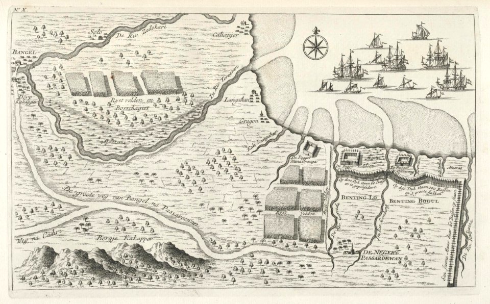
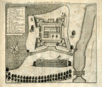
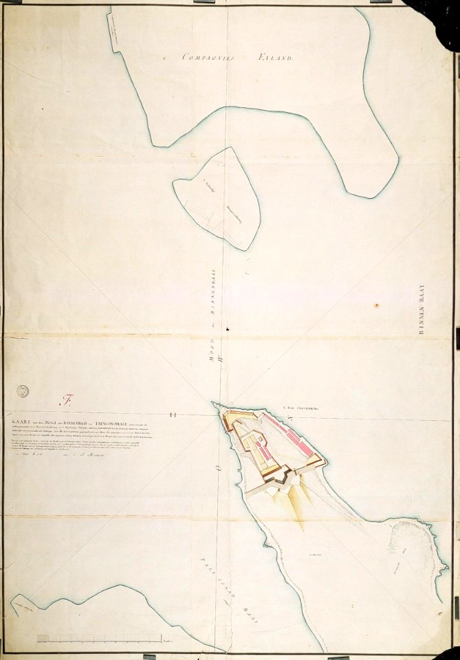
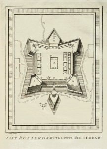
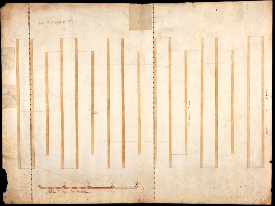
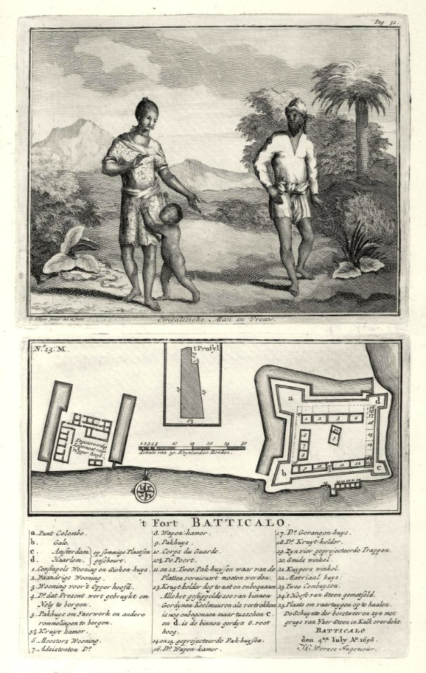
maps of fort fredrick
maps of the dutch east india company - south africa
1682)
maps by jodocus hondius
1606 maps
old maps of australia
maps with cartouches
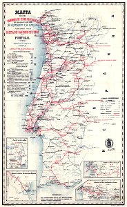
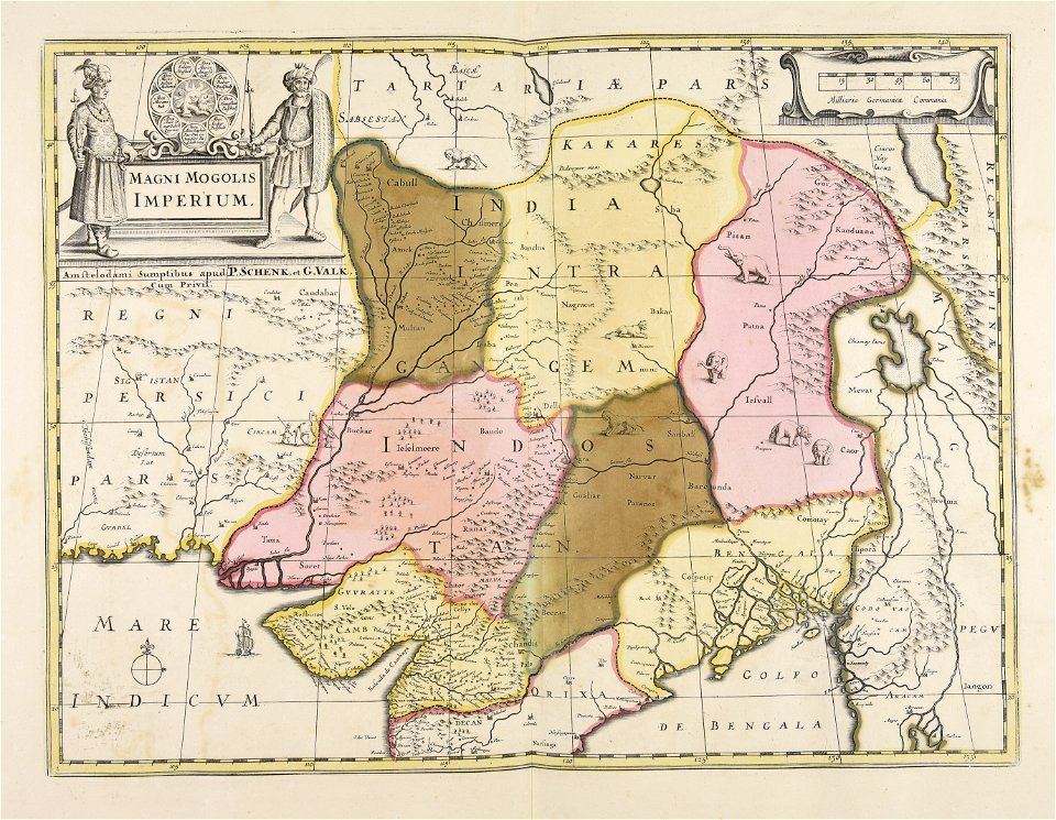
old maps of india
old maps of japan
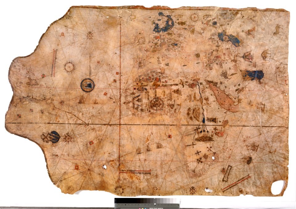
1510s maps of the world
coats of arms on maps
maps of the dutch east india company - indonesia
maps of east java
singapore stone
1825 maps
maps of midian
ships on maps
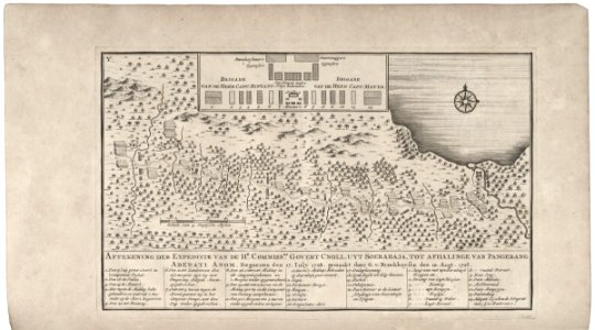
maps of the dutch east india company - indonesia
1739
maps of the dutch east india company - south africa
1747)
maps of the dutch east india company - sri lanka
1787 maps
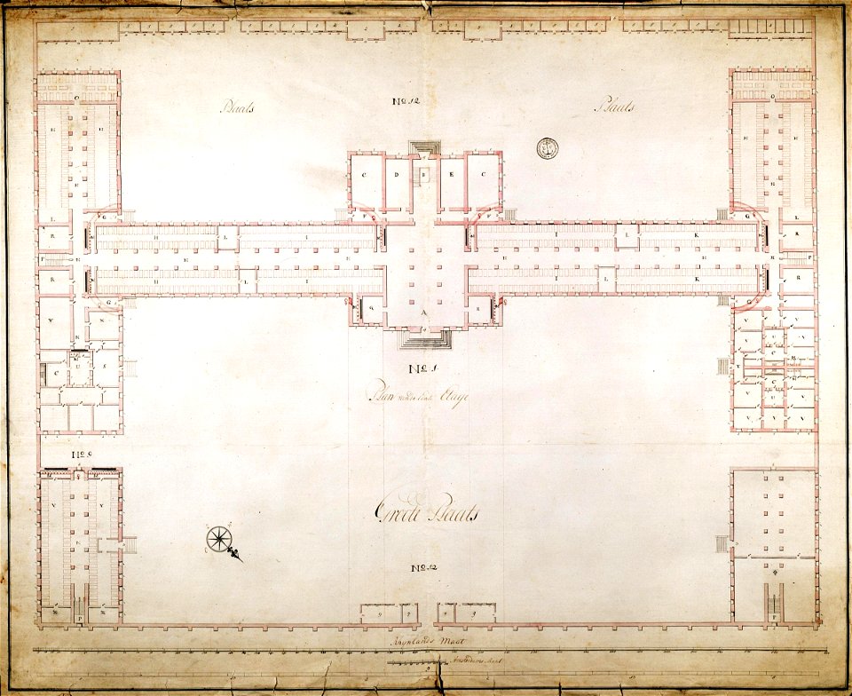
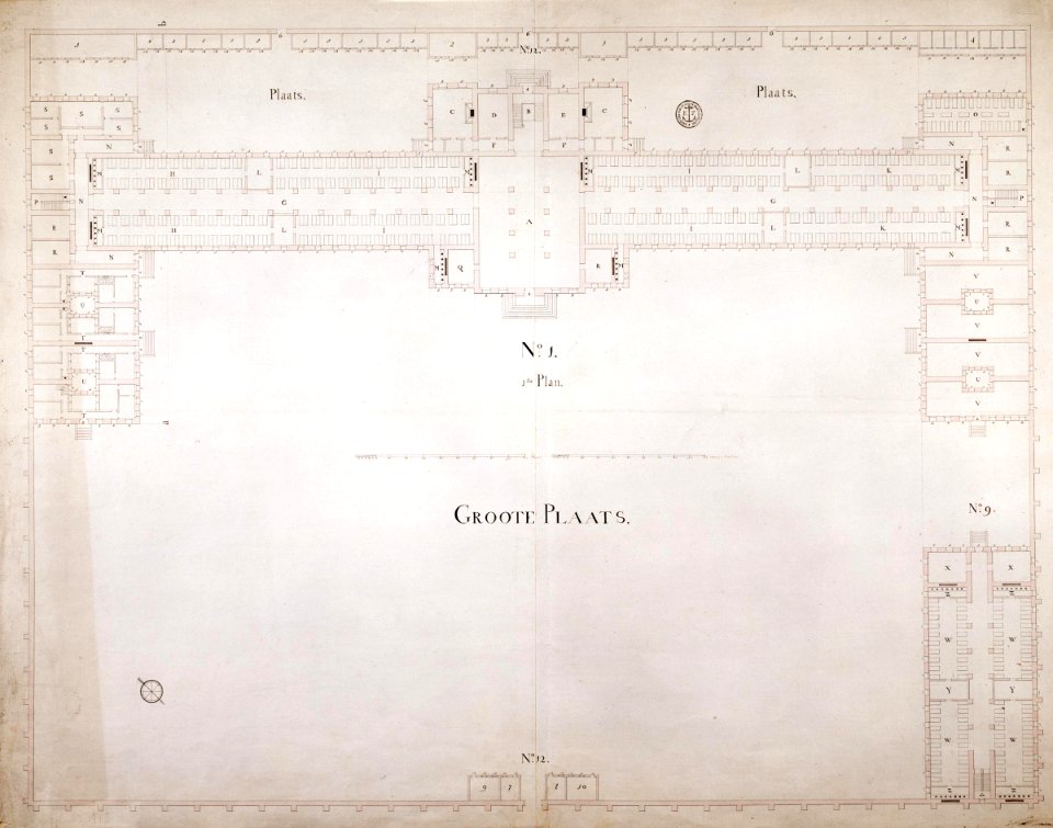
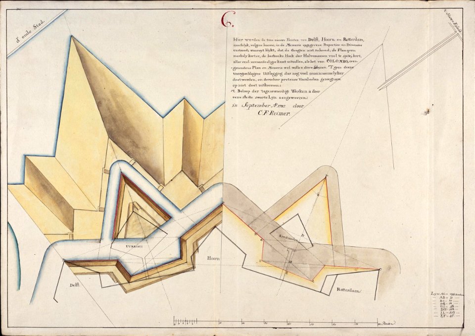
old maps of the dutch east india company
1787
johannes janssonius waasbergen
1672
17th-century maps of indonesia
1614
18th-century maps of indonesia
1744
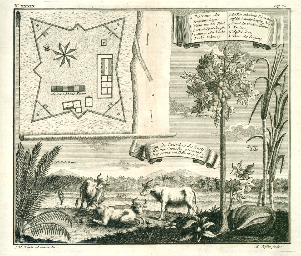
maps of the dutch east india company - indonesia
onrust island
maps of the dutch east india company - indonesia
1724
trịnh lords
1665
1623
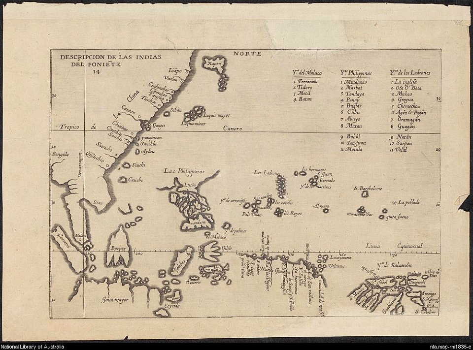
old maps of southeast asia
maps of the dutch east india company - india
1672
old maps of indonesia
old maps of tibet
maps of the dutch east india company - south africa
gerard van keulen
old maps of the dutch east india company
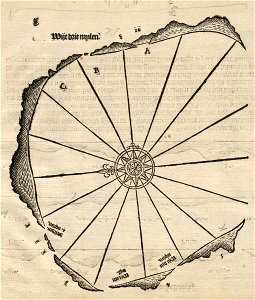
1598
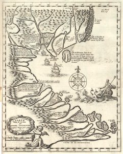
old maps of ayutthaya
1724
maps of the dutch east india company - indonesia
1616
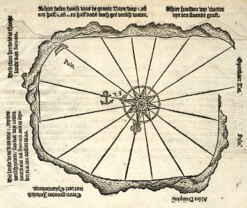
maps of the dutch east india company - sri lanka
maps of fort fredrick
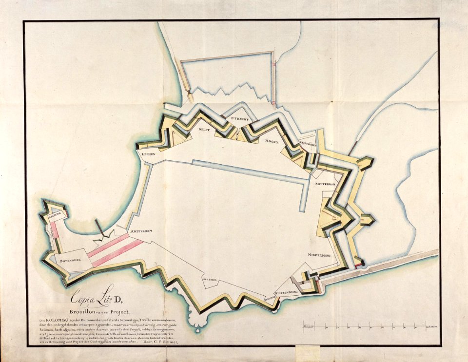
old maps of sri lanka
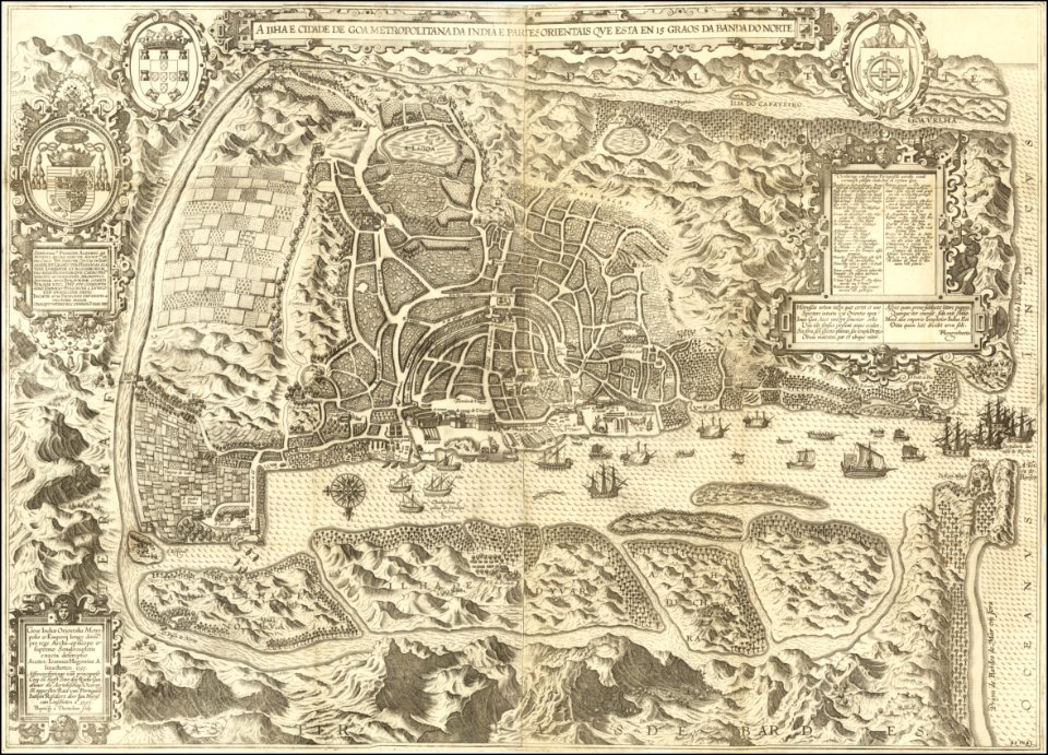
old maps of india
banda islands
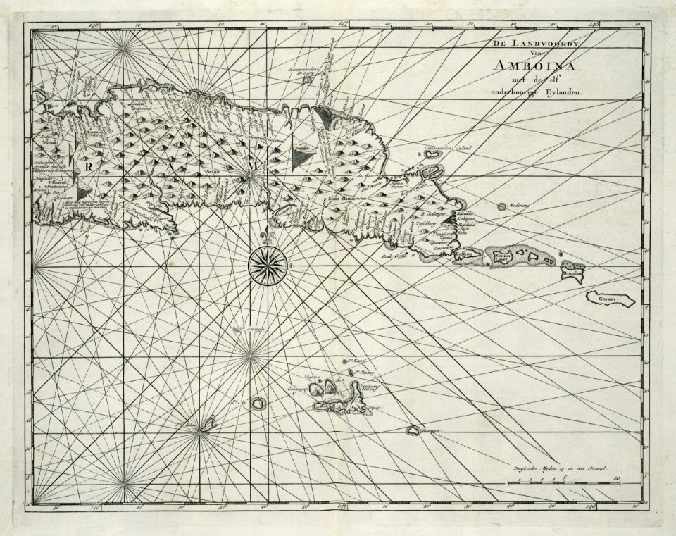
1724
johannes vingboons
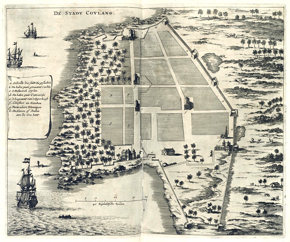
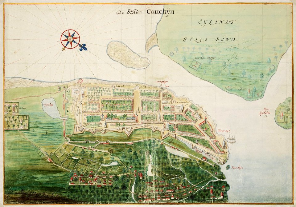
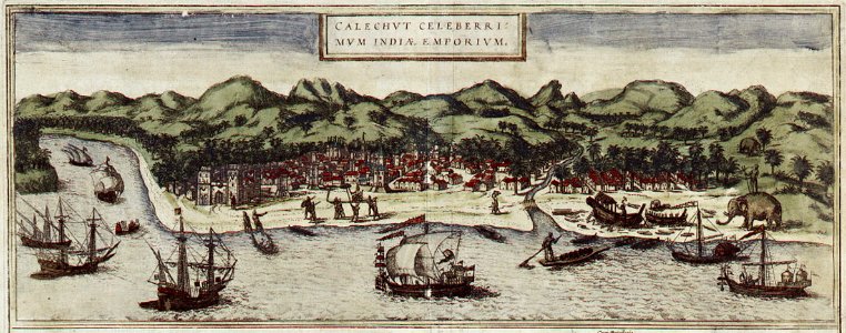
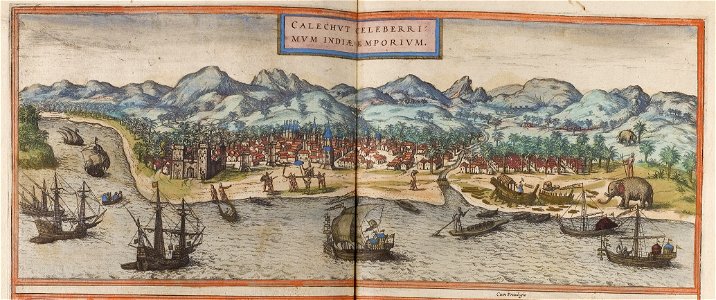
kerala
18th-century maps of indonesia
1724
old maps of guangzhou
1745
trịnh lords
1718)
maps of the dutch east india company - south africa
1726 maps
old maps of guangzhou
1745
pulicat
1672
old maps of taiwan
1665
maps of the dutch east india company - south africa
1745
maps of the dutch east india company - sri lanka
1787
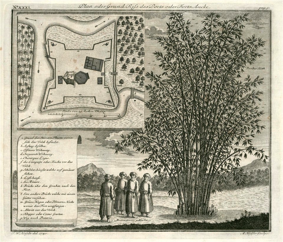
fort anké
1740
johannes vingboons
1665
makassar
1757
maps of the dutch east india company - indonesia
1598
maps of the dutch east india company - indonesia
1598
johannes janssonius waasbergen
1672
old maps of india
qinghai lake
old maps of india
qinghai lake
maps of the dutch east india company - sri lanka
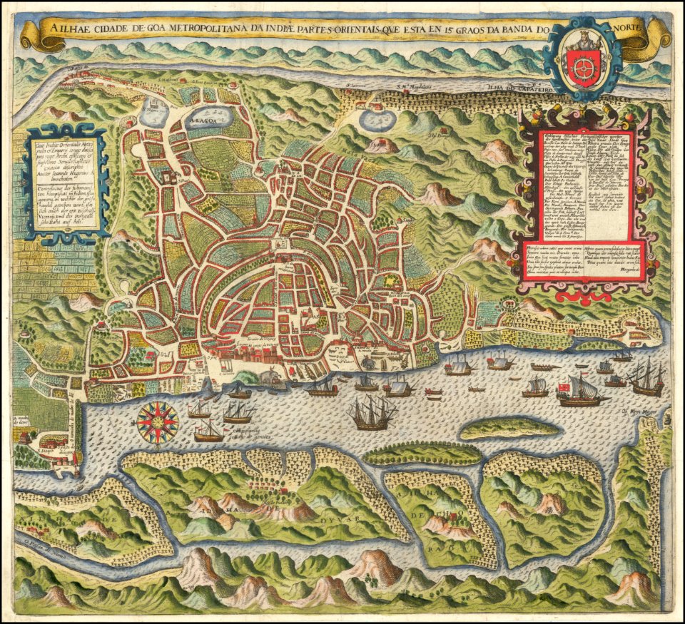
historical images of kozhikode
braun & hogenberg
ottomar elliger (ii)
1726
maps of the dutch east india company - indonesia
historical images of kozhikode
braun & hogenberg
maps of the dutch east india company - indonesia
1724
black
blue
old maps of india
qinghai lake
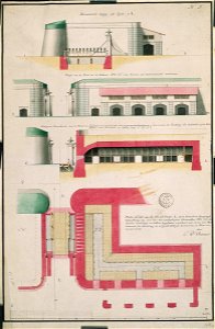
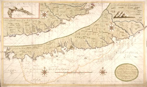
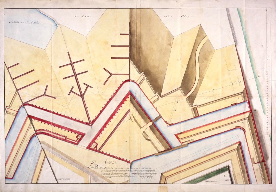
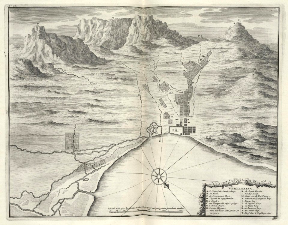
grand parade
cape town
maps of the dutch east india company - sri lanka
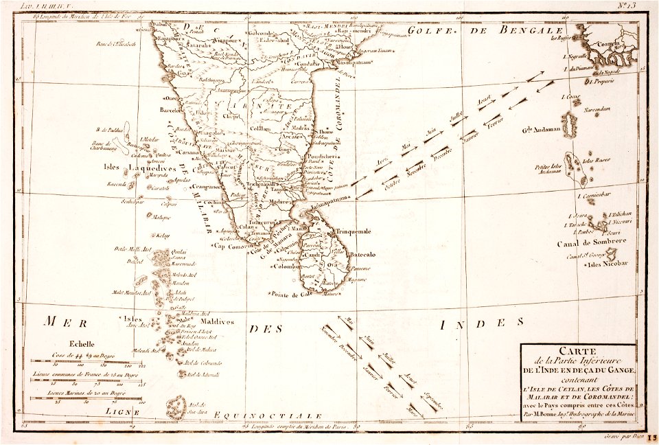
1787
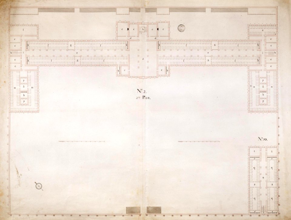
maps of the dutch east india company - south africa
maps of the dutch east india company - indonesia
1598
maps of the dutch east india company - mauritius
1753
maps of the dutch east india company - south africa
maps of the dutch east india company - south africa
maps of the dutch east india company - sri lanka
1787
maps of the dutch east india company - south africa
maps of the dutch east india company - sri lanka
1787
maps of the dutch east india company - sri lanka
1787
old maps of indonesia
old maps of japan
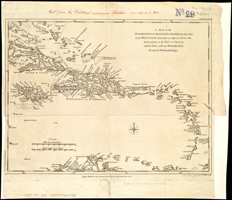
18th-century maps of hispaniola
1780s maps of the caribbean
media from atlas of mutual heritage on dutch east india company
1670s
maps of the dutch east india company - madagascar
1598
maps of the dutch east india company - indonesia
1598
braun & hogenberg
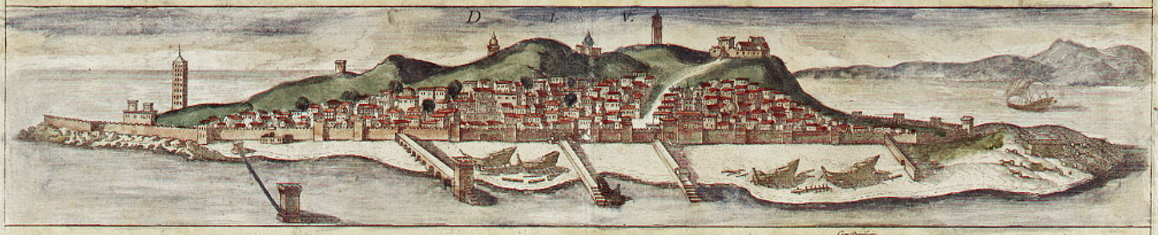
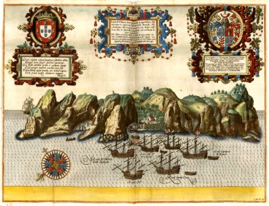
diu
1780 maps of afghanistan
ganges river
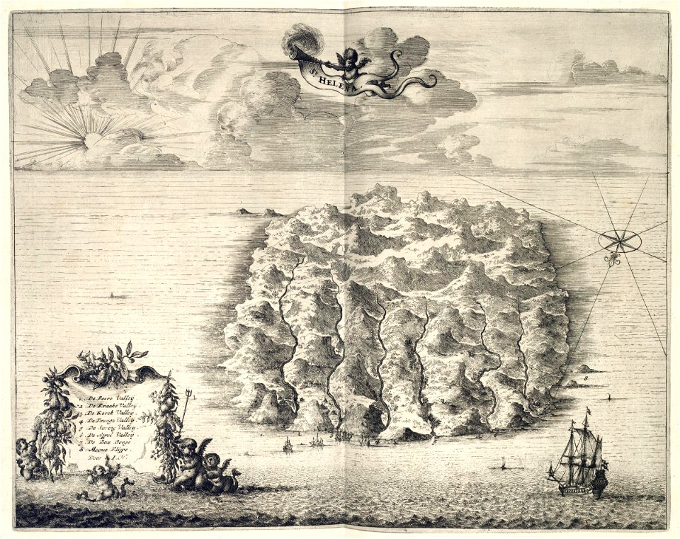
maps of the dutch east india company - st helena
1668
maps of the dutch east india company - sri lanka
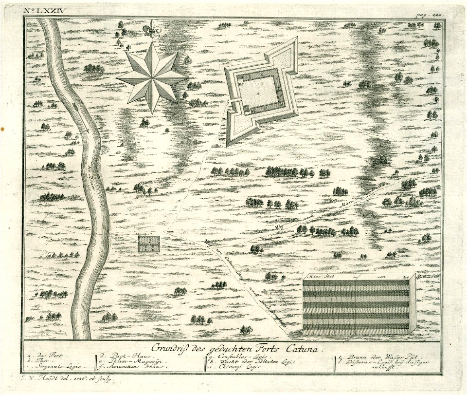
1736
maps of the dutch east india company - south africa
1753
braun & hogenberg
diu
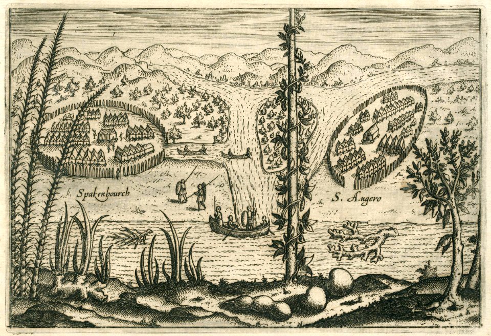
theodor de bry
1613 maps
maps made in the 17th century
gerard valck
maps of the andaman islands
18th-century maps of india
maps of the dutch east india company - south africa
1726
maps of the dutch east india company - south africa
1726
jan huygen van linschoten
1596 maps
sailing ships of portugal
1596
maps of the dutch east india company - sri lanka
1726
johannes janssonius waasbergen
1672
19th-century maps of the malay archipelago
19th-century maps of southeast asia
301 - 400 of 717
Next page
/ 8